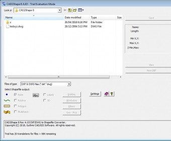
CAD2Shape converts AutoCAD DXF or DWG formats to ESRI Shapefiles (ArcGIS, ArcMap, ArcView etc.). This is a standalone program that doesn't require ArcGIS, ArcMap, ArcView, or any other program. You can select the output Shapefile types, such as MultiPatch, 2D/3D Polygon, Polyline, Point and Text Labels. All AutoCAD DWG / DXF versions including AutoCAD 2019 are supported.

ArcGIS extension with geospatial analysis capabilities for mlitary applications.


Comments