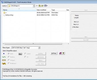
No specific info about version 8.2. Please visit the main page of CAD2Shape on Software Informer.
Your vote:
Convert ESRI Shapefiles to AutoCAD DXF and DWG formats.
ET GeoTools improves the editing capabilites of ArcGIS.
ArcGIS extension with geospatial analysis capabilities for mlitary applications.
It is a set of tools for ArcGIS that enable the users to create surfaces.
RCP 3D Transformer is a tool of batch processing, visualization of 3D files.














Comments